

Search Collections
- Object[242]
- no[242]
- american[242]
- ball[1]
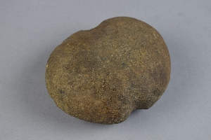
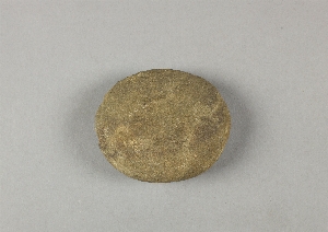
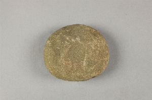
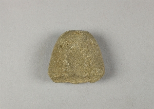
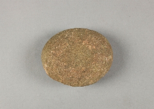
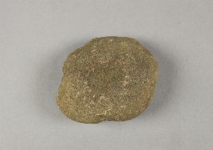
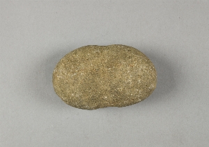
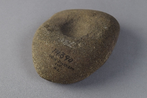
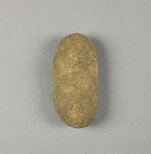
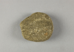
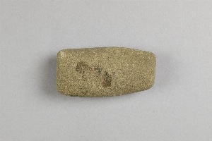
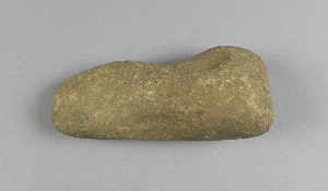
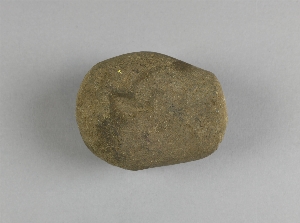
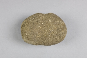
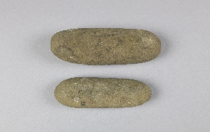
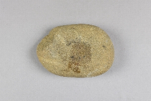
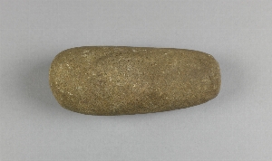
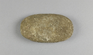
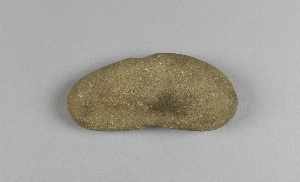
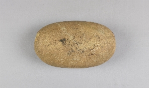
- hammerstone[242]
- adam's place[1]
- alaska[2]
- alibates creek[1]
- bala[1]
- barto[3]
- berks county[5]
- bivens ranch[1]
- bridgeport[1]
- bucks county[63]
- buffalo gap[1]
- burlington county[11]
- caldwell's island[1]
- camden (new jersey)[1]
- camden county[1]
- chester county[4]
- chickies[2]
- claymont[16]
- clinton county[13]
- crum creek[2]
- delaware[17]
- delaware county (pennsylvania)[5]
- delaware valley[23]
- delaware water gap[11]
- depuy island[1]
- durham (us)[17]
- essington[1]
- flint quarry[7]
- flint ridge[1]
- fry's run[4]
- gloucester county[9]
- halls island[2]
- hamilton[7]
- hamilton square[7]
- hummel's wharf[3]
- kaiyuh slough[1]
- kent county (delaware)[1]
- khotol river[1]
- lancaster county (pennsylvania)[4]
- lehigh county[12]
- limeport[1]
- livingston county (new york)[1]
- lock haven[13]
- loma pardo[1]
- lower yukon river valley[1]
- macungie[5]
- mahoning beach[1]
- markham[2]
- medford[7]
- mercer county[21]
- middle yukon valley[1]
- middlesex county (new jersey)[1]
- milford (pennsylvania)[5]
- milford road[2]
- monroe county (pennsylvania)[12]
- montgomery county (pennsylvania)[2]
- moores island[1]
- morgantown road[1]
- mount laurel[4]
- naaman's creek[1]
- near abilene[3]
- new castle county[16]
- new hope[1]
- new jersey[47]
- new mexico[2]
- new paltz[2]
- new york[3]
- north america[242]
- northampton county[4]
- northumberland county[2]
- nugent ranch[1]
- old fish camp[1]
- pecos[1]
- pennsylvania[155]
- petersborough[1]
- pike county (pennsylvania)[5]
- rancocas creek[2]
- raubsville[4]
- red bank (new jersey)[1]
- riegelsville[4]
- san miguel county[1]
- sawmill creek[1]
- schuylkill county[1]
- scottsville[1]
- snyder county[5]
- susquehanna river[2]
- susquehanna river valley[6]
- tanana (alaska)[1]
- tanana mission[1]
- texas[5]
- tioga county[1]
- trenton[14]
- ulster county[2]
- united states of america[231]
- uwchlan township[2]
- vera cruz (pennsylvania)[5]
- washington boro[2]
- watrous[1]
- wayne township[1]
- wieder's creek[1]
- witmer's farm[1]
- modern[1]
- prehistoric[1]
- 18 inches below the surface at the site.[1]
- charlestown township, rowland's farm[1]
- flint quarry[5]
- from around spring on top of hill near durham jasper quarry[5]
- from brandywine (laubach) camp-site.[8]
- from well near durham creek.[1]
- gravel pit[1]
- hays stewart farm, operation ii, surface[1]
- house 33[1]
- indian jasper quarry, two miles northwest of selingsgrove, snyder county, pa[1]
- jasper quarry[5]
- jasper quarry; surface[1]
- lofland and gooden farms on either side of cor marsh ditch[1]
- metuchen[1]
- miller farm, surface[2]
- near chester[1]
- operation iii, pit no. h and i, -4[1]
- perkiomen[1]
- pine station[1]
- pine station, quiggle farm, operation iii, surface.[2]
- quiggle farm[1]
- sapp shellheap[1]
- shaw's farm, mouth of pine creek, below lock haen on west branch pf susquehanna river, surface[2]
- surface[4]
- surface site near abilene[1]
- vicinity, surface[5]
- zimmerman's farm[1]
- yes[18]

1 - 32 of 242 Records
1 - 32 of 242 Records