
Persian Expedition; Erich Schmidt, 1933
Accession Lot
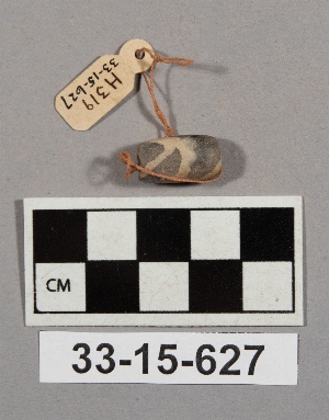
- Object[4]
- no[4]
- near eastern[4]
- bead[4]
- damghan[1]
- iran[4]
- tepe hissar[3]
- hissar iii[1]
- c i plot[1]
- depth .15-.30 c.n.[1]
- depth 1.80 s.[1]
- df 19[1]
- dump dirt[1]
- test square #2[1]
- test square #9[1]
- stone[4]


1 - 4 of 4 Records