Skip Navigation Penn Museum logo
  • My Finds 0
Online Collections
  • Browse

    Browse

    Search Collections
    Highlights
    Collections Map
    Objects On View
    Video/Film
  • About

    About

    About Collections
    Access the Collections
    Download Data
    Rights and Permissions
  • Read More

    Read More

    Journal (1919-1935)
    Bulletin (1930-1958)
    Expedition (1958-Present)
    Publications
    Our Blog: Penn Museum Voices
    Websites
  • Search
  • Browse
    • Search Collections
    • Highlights
    • Collections Map
    • Objects On View
    • Video/Film
  • About
    • About Collections
    • Access the Collections
    • Download Data
    • Rights and Permissions
  • Read More
    • Journal (1919-1935)
    • Bulletin (1930-1958)
    • Expedition (1958-Present)
    • Publications
    • Our Blog: Penn Museum Voices
    • Websites
  • Search
  • Penn Museum logo
Online Collections
My Finds 0
Online Collections

University Museum-Rochester University Expedition, 1929

Accession Lot

  • Object[80]
  • yes[80]
  • no[80]
  • american[80]
  • arrowhead[80]
  • stone fragment[1]
  • tool[1]
  • clinton county[80]
  • lock haven[80]
  • north america[80]
  • pennsylvania[80]
  • united states of america[80]
  • algonquin[63]
  • iroquois[27]
  • northeast culture area[79]
  • farm about 3 mi. above lock haven on south bank of west brnach of susquehanne river, surface.[1]
  • frank moran's farm, surface[4]
  • hays stewart farm, operation ii, surface[9]
  • mckinney's farm, mouth of mcelhatten creek, south isde of west branch of susquehanna river, 4 mi. below lock haven. surface[2]
  • monro farm, operation i, pit #26, depth 10 in[1]
  • monro farm, operation i, pit #26, depth 7-8 in[1]
  • monro farm, operation i, pit #26, depth 8 in[1]
  • operation iii[1]
  • operation iii, pit # e and f, -3[2]
  • operation iii, pit # g, -1[1]
  • pine station[4]
  • pine station, quiggle farm, operation iii, pit no. e and f, -3. depth, surface to 14 in[1]
  • pine station, quiggle farm, operation iii, pit no. g and h, -1 and -2. depth not recorded.[2]
  • pine station, quiggle farm, operation iii, surface.[3]
  • quiggle farm[4]
  • shaw's farm, mouth of pine creek, below lock haen on west branch pf susquehanna river, surface[7]
  • surface, neighborhood generally[5]
  • vicinity, surface[39]
  • flint[2]
  • stone[78]
  • chipped[6]
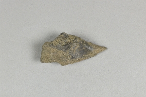
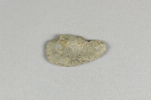
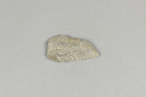
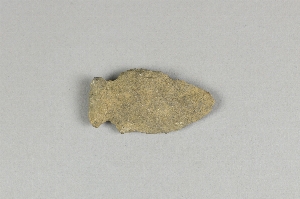
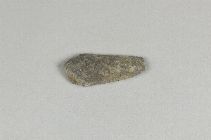
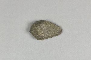
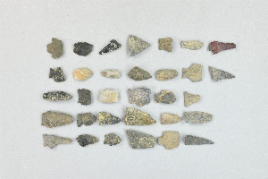
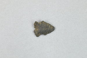
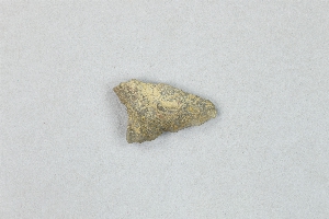
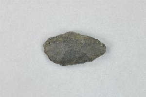
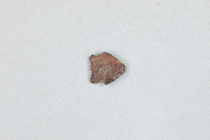
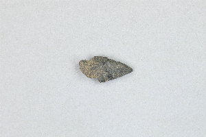
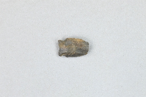
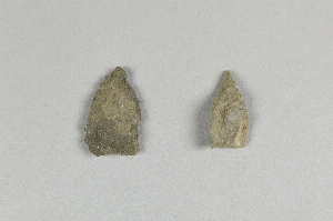
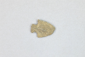
arrowhead

61 - 80 of 80 Records

29-134-12B

29-134-12B

Arrowhead

Add to My Finds +
29-134-8C

29-134-8C

Arrowhead

Add to My Finds +
29-134-8B

29-134-8B

Arrowhead

Add to My Finds +
29-134-8A

29-134-8A

Arrowhead

Add to My Finds +
29-134-7B

29-134-7B

Arrowhead

Add to My Finds +
29-134-7A

29-134-7A

Arrowhead

Add to My Finds +
29-134-4

29-134-4

Arrowhead

Add to My Finds +
29-134-3D

29-134-3D

Arrowhead

Add to My Finds +
29-134-3C

29-134-3C

Arrowhead

Add to My Finds +
29-134-3B

29-134-3B

Arrowhead

Add to My Finds +
29-134-3A

29-134-3A

Arrowhead

Add to My Finds +
29-134-2D

29-134-2D

Arrowhead

Add to My Finds +
29-134-2C

29-134-2C

Arrowhead

Add to My Finds +
29-134-2B

29-134-2B

Arrowhead

Add to My Finds +
29-134-139

29-134-139

Arrowhead

Add to My Finds +
29-134-2A

29-134-2A

Arrowhead

Add to My Finds +
  • 1
  • 2
  • 3
61 - 80 of 80 Records
Penn Museum Homepage.

3260 South Street Philadelphia, PA 19104

215.898.4000 | © Penn Museum 2026

YouTube icon. Facebook icon. Instagram icon. LinkedIn icon.
ABOUT MEMBERSHIP SUPPORT PRESS HOST AN EVENT
The Penn Museum respectfully acknowledges that it is situated on Lenapehoking, the ancestral and spiritual homeland of the Unami Lenape.

World Wonders in your inbox.

Sign up for our Newsletter
Subscribe
UPenn logo.
Report Web Accessibility Issues and Get Help Contact Terms & Conditions Disclaimer Privacy