

Search Collections
- Object[660]
- yes[660]
- american[660]
- abrader[1]
- adze[1]
- arrowhead[3]
- axe[1]
- base[1]
- blade[11]
- boulder (stone)[1]
- chip[20]
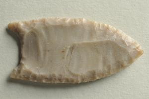
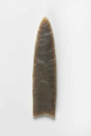
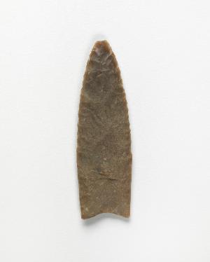
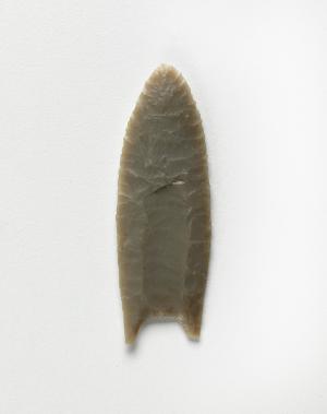
- clovis projectile point[2]
- disc[1]
- drill[9]
- flake[27]
- flake scraper[1]
- flakes[1]
- flint[9]
- folsom point[16]
- graver[2]
- implement[5]
- jasper[3]
- knife[77]
- pebble[1]
- point[219]
- projectile point[1]
- punch[1]
- reject[1]
- saw[1]
- scraper[199]
- sherd[1]
- spear point[32]
- stem[2]
- stone[8]
- stone fragment[1]
- tool[1]
- anderson lake[99]
- apache canyon[8]
- beck forest lake[102]
- blackwater draw[3]
- box canyon[1]
- carlsbad[1]
- clovis[329]
- curry county[32]
- dark canyon[2]
- eddy county[19]
- fanny jones ranch[2]
- gallegos ranch[3]
- garrett[11]
- gravel pit[112]
- harding county[16]
- kroenig ranch[3]
- lake[18]
- little pine canyon[5]
- maljamar[8]
- mammoth pit[1]
- martinez ranch[1]
- mescal pit[2]
- miniosa draw[25]
- mora county[8]
- mora river[2]
- muerto creek[15]
- near bueyeros[16]
- near carlsbad[6]
- near clayton[7]
- near clovis[38]
- near gallegos[2]
- near levy[8]
- near logan[3]
- near nara visa[25]
- near newkirk[2]
- near pasamonte[2]
- near questa[2]
- near san jon[9]
- near taos[12]
- near tecolote[10]
- near tucumcari[14]
- new mexico[660]
- old lake[8]
- pecos river[1]
- polard lake[30]
- pot creek[12]
- potaler clovis[11]
- pueblo mound[3]
- quay county[64]
- railroad mountain[16]
- ralph thayer ranch[5]
- rocky arroyo[4]
- rosebud[2]
- san miguel county[10]
- sawyer canyon[2]
- second jernada site[3]
- shattuck cave[2]
- site 1[6]
- site 10[30]
- site 2[27]
- site 3[15]
- site 4[10]
- site 5[16]
- site 6[11]
- site 7[6]
- site 8[28]
- taos county[12]
- tesuque river[1]
- troutman ranch[14]
- union county (new mexico)[7]
- united states of america[146]
- watrous[5]
- paleoindian[4]
- basket maker[1]
- basketmaker[1]
- clovis[2]
- pueblo[2]
- "johnny-behind-the-deuce cave"[5]
- "mound" - adobe walls[3]
- 1 mi. s.e. of gravel pit near clovis, n.m.[2]
- 2 mi. w. of gravel pit near clovis, n.m.[10]
- 70 ft. no. of '37 excavation in west wall of gravel pit[1]
- a - 13 - south, 16" above speckled sand[1]
- a - 14 - south[1]
- a - 4 - south; located 4' 6" from surface, 10" above speckled sand contact[1]
- a' - 12 - south, 5" below bluish clay in speckled sand[1]
- a' - 14 - s; 9" above speckled sand, in bluish clay[1]
- a' - 14 - south[2]
- alongside mammoth tusk[1]
- alongside of mammoth tusk[2]
- anderson lake, about 15 mi. s.e. of clovis, n.m.[24]
- anderson lake, about 15 mi. s.e. of clovis. from sand dune along edge of lake.[1]
- b' - 15 - south, blue clay - 6" above speckled sand contact[1]
- b' - 2-south, in excavated blue material[1]
- basin site[11]
- blue bone-bearing sand on east side of gravel pit[1]
- brom lake[1]
- buried site along highway 66, 5 miles west of san jon[1]
- c' - 2 - north[1]
- c' - 9 - south[1]
- c' - 9-south[1]
- camp sire[1]
- camp site[10]
- deep hearth on south side of erosion island[10]
- deep hearth on south side of erosion island... associated with extinct bison bones[1]
- dump at sw. corner of gravel pit; surface[1]
- east side of gravel pit[1]
- embedded in blue sand[3]
- embedded in sand[1]
- first terrace surface[12]
- found few feet from hearth[1]
- found in excavated blue material[2]
- found in place at bottom of blue sand on east side of gravel pit[1]
- found in place in blue sand with extinct bison[1]
- found near bottom of blue sand. association with bison at gravel pit[2]
- found near mammoth bone[1]
- from 2 mi. w. of gravel pit near clovis, n.m.[1]
- from lake 3 mi. w. of gravel pit near clovis n.m.[1]
- from lake 3 mi. w. of gravel pit near clovis, n.m.[8]
- from lake bank 1 mi. s.e. of gravel pit near clovis, n.m.[5]
- from lake bank, 1 mi. s.e. of gravel pit near clovis, n.m.[1]
- from old lake 1.5 mi. s.w. of gravelpit about 18 mi. s.w. of clovis[2]
- from old lake west of gravel pit about 18 mi. s.w. of clovis[4]
- gravel pit[1]
- gravel pit 15 miles sw of clovis[1]
- gravel pit near clovis, n.m. at edge of blue sand.[1]
- gravel pit west dump, surface[3]
- imbedded in blue sand near extinct bison bones[1]
- just above mammoth tusk[2]
- lake 15 mi. east of gravel pit[1]
- lake 15 mi. west[5]
- lake 15 mi. west of gravel pit[1]
- lake south west[1]
- located in situ 6" below brown sand, bluish clay contact, in the bluish clay associated with bison bones which occur throughout the blue at this location[1]
- mescal pit in small canyon north of dark canyon near carlsbad, n.m.[2]
- near extinct bison bones[2]
- near hearth[1]
- near mammoth bones[1]
- near mammoth tooth[1]
- near mammoth tusk[1]
- north side of gravel pit[1]
- northeast dump of gravel pit, surface[1]
- old lake 2 mi. sout of gravel pit near clovis, n.m.[1]
- old lake 2 mi. south of gravel pit near clovis, n.m.[8]
- old lake west of gravel pit near clovis, n.m.[1]
- s.w. corner of gravel pit near mammoth bones[1]
- sand "blowout" 20-25 miles northeast of carlsbad[5]
- sands near mammoth bones[1]
- subsurface[1]
- sunshine valley[2]
- surface[36]
- surface 100 yds. west of gravelpit about 17 mi. s.w. of clovis[1]
- surface around gravel pit near clovis, n.m.[8]
- walled cave rocky arroyo seep 50-60 miles west of carlsbad[2]
- west dump at side of old road leaving the north east corner of the gravel pit[1]
- west dump of gravel pit, surface[1]
- west side of gravel pit[3]
- agate[1]
- andesite[1]
- argillite[1]
- chalcedony[64]
- chert[196]
- clay[1]
- dolomite[3]
- edwards chert[4]
- felsite[5]
- flint[147]
- jasper[46]
- moss agate[1]
- obsidian[14]
- petrified wood[1]
- quartz[1]
- quartzite[86]
- red jasper[4]
- rhyolite[2]
- sandstone[4]
- slate[3]
- stone[76]
- chipped[660]
- yes[24]

1 - 32 of 660 Records
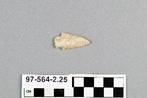
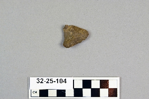
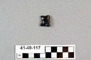
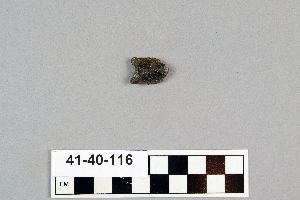

1 - 32 of 660 Records