
Search Collections
- Object[306]
- yes[306]
- no[306]
- american[306]
- drill[1]
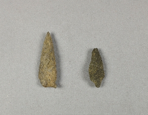
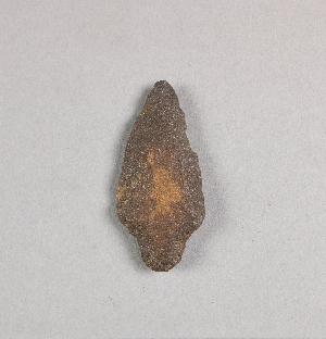
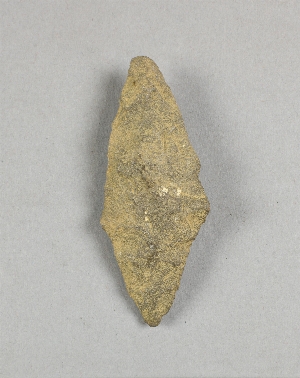
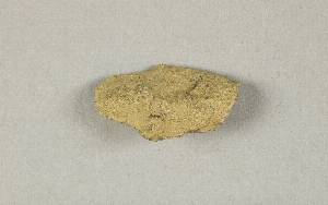
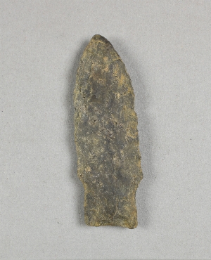
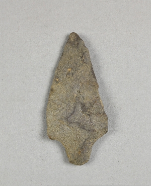
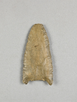
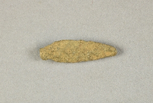
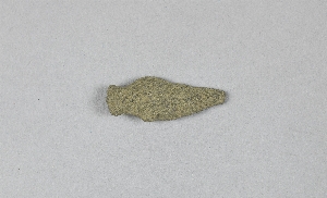
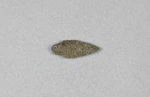
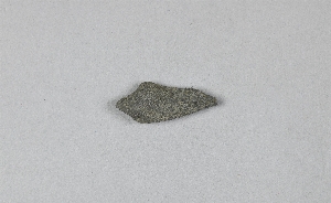
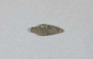
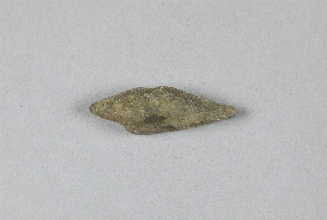
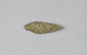
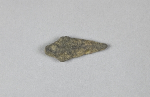
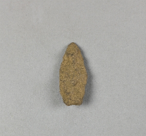
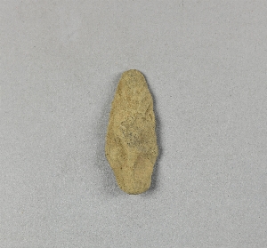
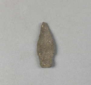
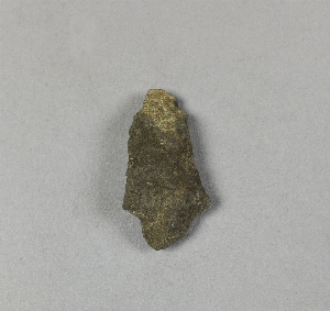
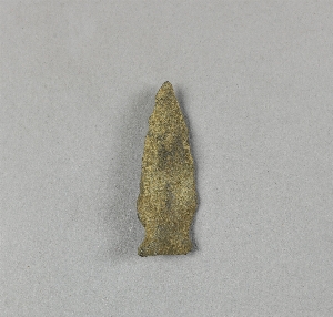
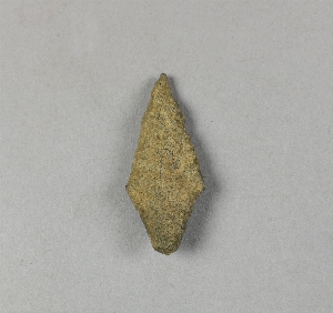
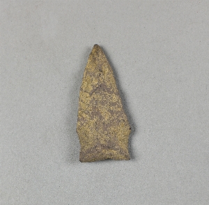
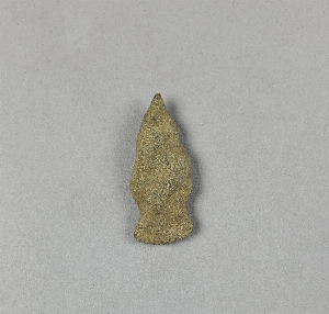
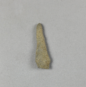
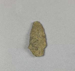
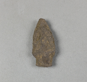
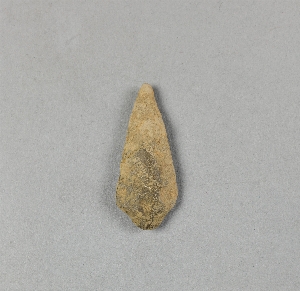
- projectile point[306]
- abbott farm[5]
- bainbridge (pennsylvania)[2]
- bartlett shellheep[4]
- beasley's point[1]
- brownsville[3]
- bucks county[8]
- burlington county[18]
- camden county[11]
- cape may county[2]
- chester (new jersey)[1]
- chester county[1]
- chickies[10]
- conoy township[3]
- cumberland county (new jersey)[3]
- dauphin county[4]
- delaware[10]
- delaware valley[92]
- eastern pennsylvania[35]
- enterline[1]
- fayette county (pennsylvania)[3]
- florence (new jersey)[6]
- forge island[3]
- gloucester county[2]
- haddonfield[1]
- haldeman's island[3]
- hamilton[35]
- hamilton square[35]
- hunterdon county[10]
- kentucky[9]
- lambertville[10]
- lancaster county (pennsylvania)[35]
- locust grove[7]
- lumberton[8]
- medford[1]
- mercer county[99]
- middletown (pennsylvania)[3]
- milford road[1]
- monongahela river[3]
- morris county[1]
- morrisville[2]
- near trenton[5]
- new castle county[1]
- new jersey[238]
- newport (new jersey)[2]
- north america[306]
- ocean county[4]
- ohio[9]
- pennsylvania[95]
- port elizabeth[1]
- prospect[1]
- r. h. mohr's farm[1]
- riegelsville[4]
- rock retreat[8]
- shellpot creek[1]
- timber creek[10]
- trenton[59]
- tuckerton[4]
- united states of america[306]
- uwchlan township[1]
- woodland[1]
- cave[2]
- from brandywine (laubach) camp-site.[2]
- in susquehanna river[3]
- laurie's mill pond[1]
- opposite locust grove haldeman estate[3]
- shores of delaware river at morrisville, pa., and trenton, n.j.[2]
- surface of river shore.[1]
- surface of river-shore.[4]
- surface of river-shore. exposed by wearing away of the river bank.[1]
- chipped[244]

1 - 32 of 306 Records
1 - 32 of 306 Records