

Search Collections
- Object[420]
- yes[420]
- no[420]
- american[420]
- alibates creek[1]
- anderson lake[23]
- apache canyon[5]
- arizona[48]
- bailey county[1]
- banquete creek[1]
- beck forest lake[31]
- bivens estate ranch[1]
- blowout mountain[1]
- canadian river[1]
- clovis[120]
- colorado[48]
- copano bay[1]
- corpus christi[23]
- curry county[4]
- dark canyon[1]
- eddy county[5]
- elgin island[5]
- elm creek[1]
- florence (texas)[4]
- gallegos ranch[2]
- garrett[2]
- gravel pit[61]
- harding county[9]
- henry gault mound[4]
- indian hill[1]
- ingleside cove[5]
- laguna madre islands[3]
- lake[6]
- landergin[1]
- little pine canyon[1]
- live oak peninsula[56]
- martinez ranch[1]
- mesa verde[1]
- miniosa draw[13]
- mora county[5]
- muerto creek[8]
- near abilene[2]
- near bueyeros[9]
- near carlsbad[2]
- near clayton[6]
- near clovis[4]
- near dalhart[10]
- near gallegos[2]
- near levy[5]
- near logan[2]
- near nara visa[13]
- near pasamonte[1]
- near san jon[5]
- near san luis[3]
- near taos[7]
- near tecolote[4]
- near tucumcari[4]
- neuces[9]
- new mexico[220]
- nueces county[30]
- old lake[6]
- oso bay[3]
- oso creek[3]
- pecos river[1]
- petronillo creek[2]
- playa lodosa[1]
- polard lake[5]
- pot creek[7]
- puerto bay[13]
- puerto bay club[1]
- quay county[26]
- ralph thayer ranch[1]
- rattlesnake point[1]
- red fish point[7]
- rincon[39]
- rockport[12]
- rocky arroyo[1]
- rosebud[2]
- salinas creek[16]
- san miguel county[4]
- site 10[5]
- site 7[1]
- site 8[2]
- southeastern utah[2]
- southwest colorado[1]
- southwestern colorado[1]
- st. charles bay[14]
- taos county[7]
- texas[144]
- troutman ranch[4]
- union county (new mexico)[6]
- united states of america[245]
- utah[43]
- viola[1]
- basket maker[2]
- cliff dweller[2]
- comanche[9]
- pueblo[2]
- "johnny-behind-the-deuce cave"[1]
- 1 mi. s.e. of gravel pit near clovis, n.m.[1]
- 2 mi. w. of gravel pit near clovis, n.m.[8]
- 70 ft. no. of '37 excavation in west wall of gravel pit[1]
- a known comanche site[5]
- alongside of mammoth tusk[1]
- anderson lake, about 15 mi. s.e. of clovis, n.m.[3]
- basin site[2]
- blow-out[1]
- bottom layer, 5 ft. deep.[1]
- bottom level.[2]
- c' - 2 - north[1]
- camp site[2]
- creek bed of elm creek 7.5 mi. south of abilene[1]
- embedded in blue sand[1]
- embedded in sand[1]
- first terrace surface[7]
- found in excavated blue material[1]
- found near mammoth bone[1]
- from 2 mi. w. of gravel pit near clovis, n.m.[1]
- from lake 3 mi. w. of gravel pit near clovis n.m.[1]
- from lake 3 mi. w. of gravel pit near clovis, n.m.[8]
- from lake bank 1 mi. s.e. of gravel pit near clovis, n.m.[3]
- from lake bank, 1 mi. s.e. of gravel pit near clovis, n.m.[1]
- from old lake 1.5 mi. s.w. of gravelpit about 18 mi. s.w. of clovis[2]
- from old lake west of gravel pit about 18 mi. s.w. of clovis[4]
- from top layer of mound.[1]
- just above mammoth tusk[1]
- lake 15 mi. west[3]
- located in situ 6" below brown sand, bluish clay contact, in the bluish clay associated with bison bones which occur throughout the blue at this location[1]
- mescal pit in small canyon north of dark canyon near carlsbad, n.m.[1]
- near hearth[1]
- near mammoth tusk[1]
- old lake 2 mi. south of gravel pit near clovis, n.m.[6]
- old lake west of gravel pit near clovis, n.m.[1]
- rectangular pit house, 2d/2b, 15 in. below surface -- at base of humus.[1]
- sand "blowout" 20-25 miles northeast of carlsbad[1]
- site 40 or 41[1]
- surface[15]
- surface 100 yds. west of gravelpit about 17 mi. s.w. of clovis[1]
- surface around gravel pit near clovis, n.m.[6]
- surface in blown area[8]
- surface site[1]
- surface, blown area[2]
- walled cave rocky arroyo seep 50-60 miles west of carlsbad[1]
- west side of gravel pit[2]
- chipped[362]
- yes[6]

1 - 32 of 420 Records
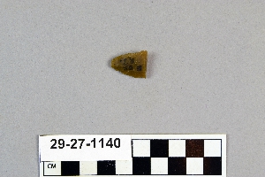
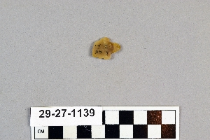
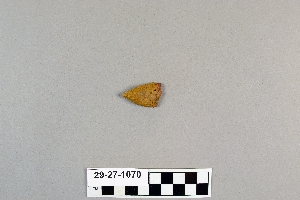
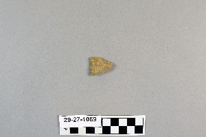
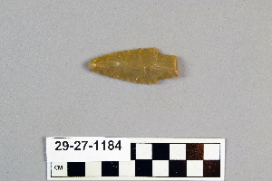
1 - 32 of 420 Records