
Persian Expedition; Erich Schmidt, 1933
Accession Lot
- Object[30]
- no[30]
- near eastern[30]
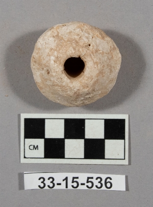
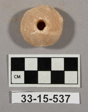
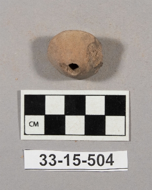
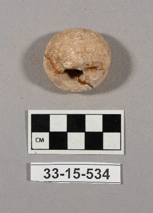
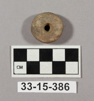
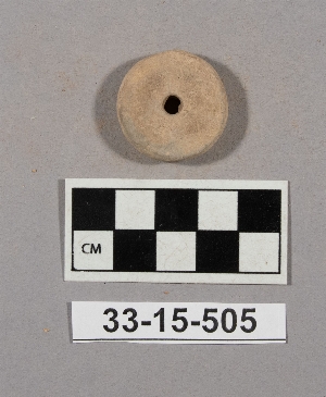
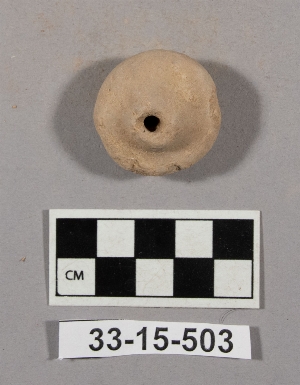
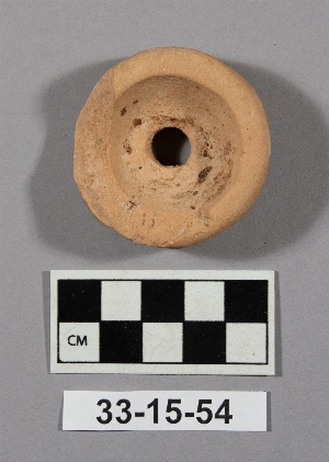
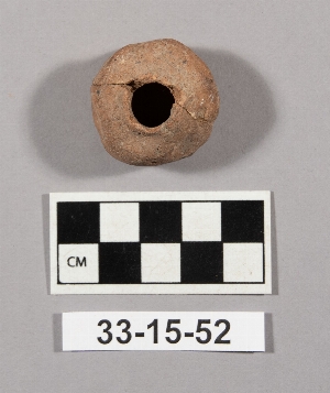
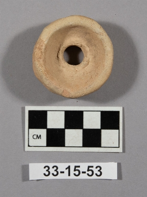
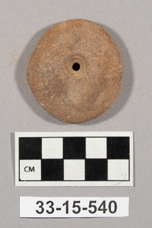
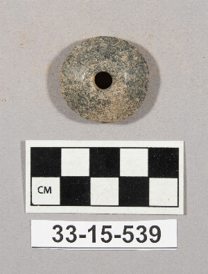
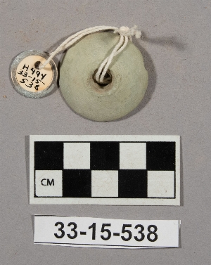
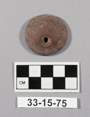
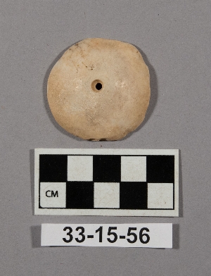
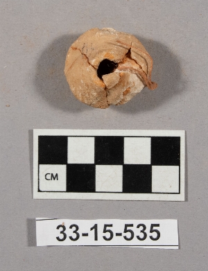
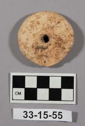
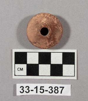
- spindle whorl[30]
- damghan[1]
- iran[30]
- tepe hissar[29]
- hissar i[6]
- hissar ii[6]
- hissar iii[10]
- c i plot[1]
- cg 25[2]
- cg 95[1]
- depth .15-.45[1]
- depth .20[1]
- depth .25-.45[1]
- depth .40-.55[1]
- depth .60-.80[1]
- depth .70-.85[1]
- depth 0- .25 n.e.[1]
- depth 1.30-1.55[1]
- depth 1.50[1]
- depth 2.0-2.3[1]
- depth 2.15-[1]
- depth 2.50-2.95 c.w.[1]
- depth 2.65-2.80[1]
- depth 3.00-3.10 c.[1]
- depth 3.05-3.35 c.s.[1]
- depth 3.10-3.15[1]
- depth 3.20-3.45 c.n.[1]
- depth 3.45[1]
- depth 4.05-4.25 c.w.[1]
- depth 4.7-5.5[1]
- depth ca. 2.65- s.w.[1]
- df 07[1]
- df 08x7[1]
- df 09[2]
- df 18[1]
- df 19[1]
- df 25[1]
- dg 00[3]
- dg 10[2]
- dg 36[4]
- dg 96[1]
- dh 21[1]
- dump dirt[3]
- ed 66[1]
- ff 77[2]
- plot a (4)[1]
- plot b[1]
- plot record #35[1]
- s. 5 ref. (s.w.)[1]
- s.1[2]
- s.f. plot border[1]
- slope s.e.[1]
- test square #4[1]
- test square 8[1]
- alabaster[4]
- ceramic[1]
- limestone[4]
- marble (stone)[1]
- sandstone[1]
- steatite[1]
- stone[2]
- terracotta[16]

1 - 30 of 30 Records

1 - 30 of 30 Records