
Persian Expedition; Erich Schmidt, 1933
Accession Lot
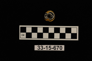
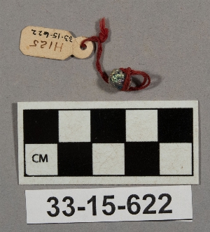
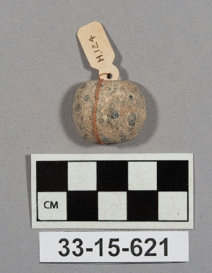
- Object[32]
- yes[32]
- no[32]
- near eastern[32]
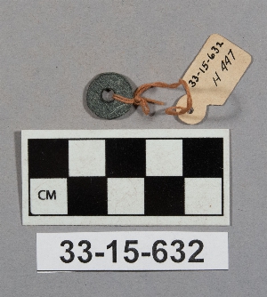
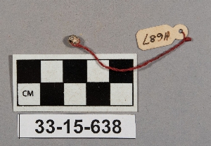
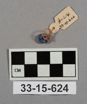
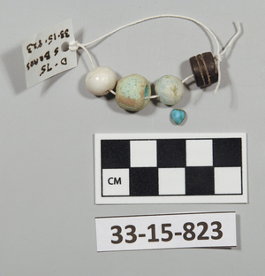
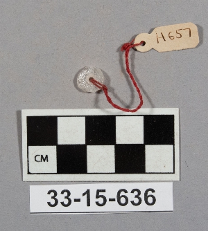
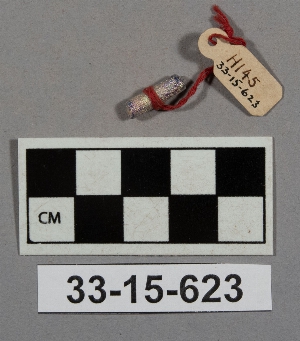
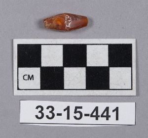
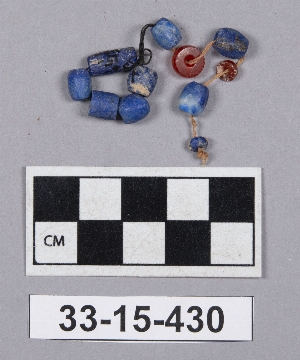
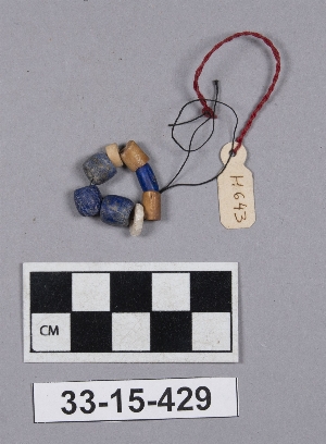
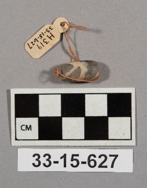
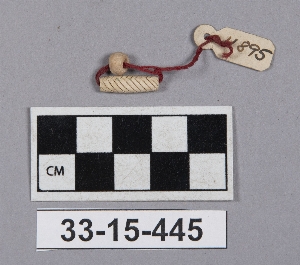
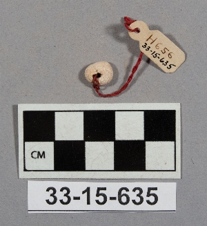
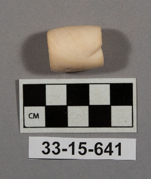
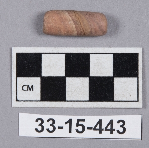
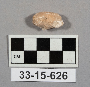
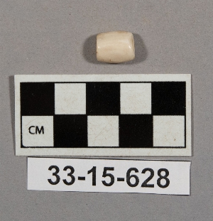
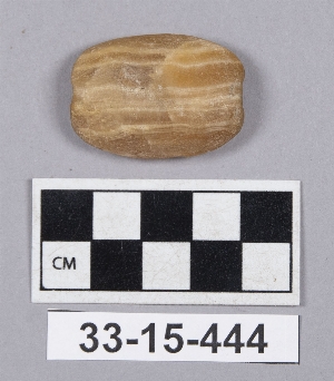
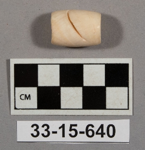
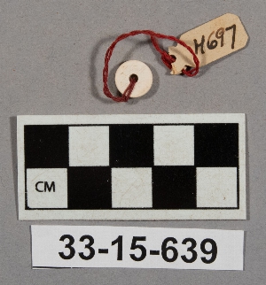
- bead[32]
- damghan[1]
- iran[32]
- tepe hissar[31]
- hissar ii[8]
- hissar iii[21]
- islamic[1]
- islamic[1]
- c i plot[1]
- c.s. 2.75[1]
- center west[1]
- cg 25[1]
- cg 25-30[1]
- cg 95x1[1]
- depth .20[1]
- depth .85-1.05[1]
- depth 0-.25[1]
- depth 1.05-1.45[1]
- depth 1.10-1.30[2]
- depth 1.40[1]
- depth 1.80 s.[1]
- depth 1.80-1.85 c.n.[1]
- depth 2.20[1]
- depth 2.55-2.75[1]
- depth 2.75-s.w.[1]
- depth 3.15-3.35[1]
- depth 3.75-3.95 c.n.[1]
- depth 4.4-4.85[1]
- df 07[2]
- df 09[1]
- df 09x1[1]
- df 13[1]
- df 18x14[1]
- df 18x44[1]
- df 19[3]
- df 19x61[1]
- df 29x15[2]
- dg 00[2]
- dg 00x6[1]
- dg 10[1]
- dg 96[1]
- dh 21[1]
- dump dirt[5]
- fd 07[2]
- fd 08[1]
- fd 14[3]
- fd 15[1]
- ff 76[1]
- floor level[1]
- found with animal[1]
- plot a[1]
- plot e[1]
- plot record #103[1]
- plot record #15a[1]
- plot record #15b[1]
- plot record #25[1]
- plot record #41[1]
- plot record #48a[1]
- plot record #86[1]
- refuse[1]
- refuse- burial layer[1]
- removing level 2[1]
- x #35[1]

1 - 30 of 32 Records