
Alaskan Expedition, Frederica de Laguna, 1930
Accession Lot
- Object[29]
- yes[29]
- no[29]
- american[29]
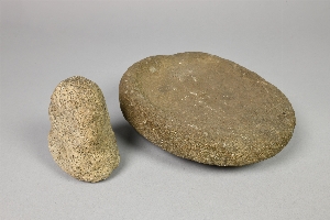
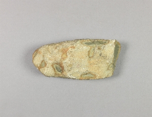
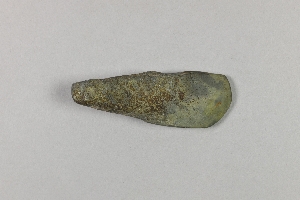
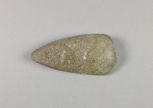
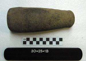
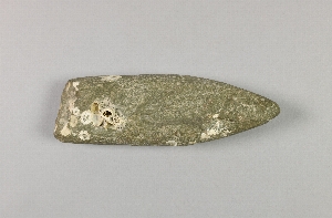
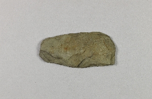
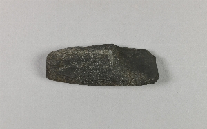
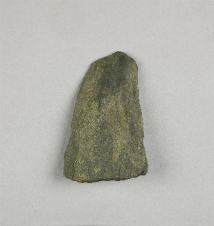
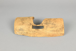
- adze[3]
- adze blade[1]
- adze point[1]
- arrowhead[1]
- awl[1]
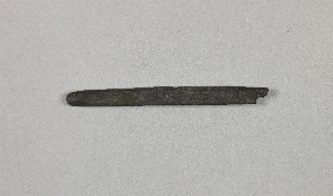
- blade[1]
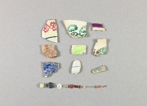
- china fragment[1]
- chisel[2]
- club head[1]
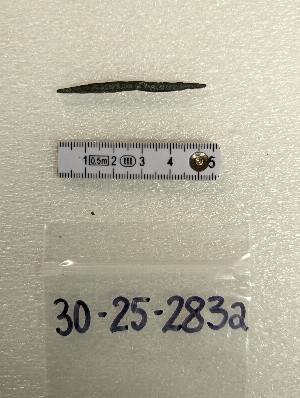
- copper[1]
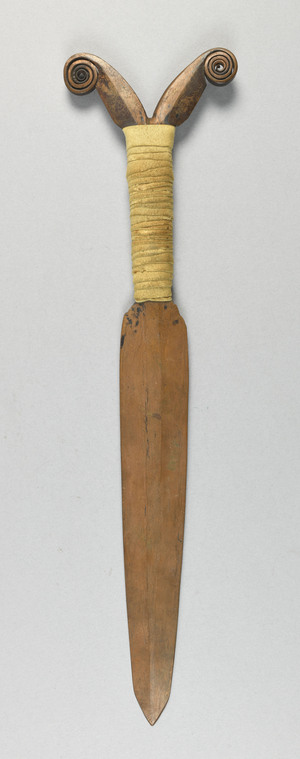
- dagger[1]
- fragment[2]
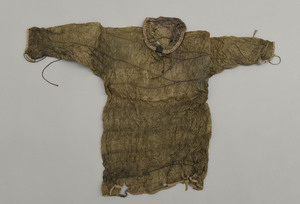
- kayak shirt[1]
- knife[1]
- lamp[1]
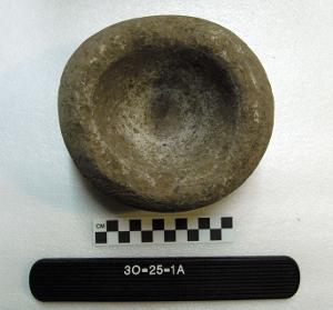
- mortar[2]
- object[1]
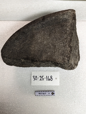
- pebble[1]
- pestle[2]
- polisher[1]
- scraper[1]
- splitting adze[1]
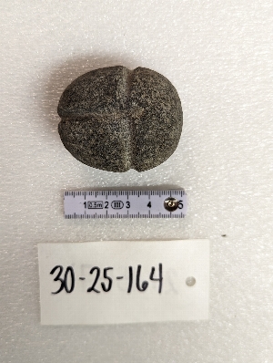
- throwing stone[1]
- trap[1]
- ulu blade[1]
- whetstone[2]
- alaganik[1]
- alaska[27]
- big cave[1]
- boswell bay[1]
- cape prince of wales[1]
- cave[1]
- cook inlet[10]
- copper river[2]
- cordova[1]
- cottonwood creek (alaska)[2]
- ellamar[1]
- heisson[2]
- hinchinbrook island[1]
- kachemak bay[2]
- kustatan[1]
- kustatan/west foreland[7]
- macarthy district[1]
- middle yukon valley[1]
- molosi river[1]
- mummy island[7]
- palu:tat[1]
- point whitshed radio station[3]
- prince william sound[13]
- united states of america[27]
- washington (u. s. state)[2]
- west foreland[1]
- athapaskan[9]
- eskimo[21]
- eyak[11]
- inuit[2]
- kuchin[1]
- 9 ' below surface[1]
- all from midden in front of recent house ruin.[1]
- at bottom of midden.[1]
- bank of the molosi river which flows into the yukon 6 miles above ruby, at 3/4 to 1 1/2 miles above junction of molosi and yukon rivers, where river was cutting away at bank.[1]
- beach[1]
- beach below big cave.[1]
- beach below small cave[1]
- beach on south side of northeast point[1]
- beach on the south side of northeast point[1]
- beach on the south side of the northeast point.[1]
- beach.[1]
- cave[1]
- found on beach below small cave[2]
- house ruin above second bench above cannery.[7]
- in midden rubbish.[1]
- klipchaq (klipskid)[1]
- philip amarus farm (20 miles northeast of vancouver, washington)[2]

1 - 29 of 29 Records


1 - 29 of 29 Records